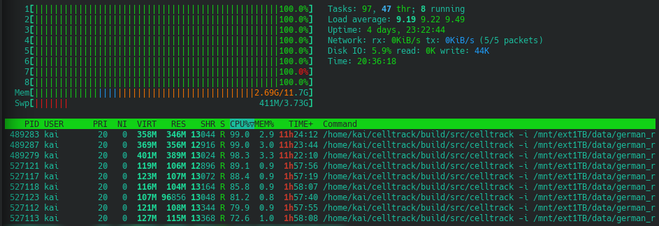
In this private project, I do an analysis of 20 years of high-resolution rain radar data over Germany. The data contains radar derived precipitation fields every five minutes on a 1 x 1km2 grid. After having downloaded the data set, I applied a rain cell tracking to identify individual rainfall events. The software that I used is the fruit of my PhD work and can be found on github.
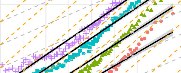
A primary goal of this project is to find out whether the results that I obtained in my PhD research for the Netherlands can be confirmed for Germany. In this context, I mainly focus on the relation between intensity and size of events and the scaling of extreme rainfall events with surface moisture availability.
Second, the German data set spans 20 years. This makes it possible to investigate trends of event characteristics. At the time of doing my PhD research, only nine years of Dutch radar data was available.
Lastly, I plan to distinguish between convective and stratiform precipitation in my analysis. Unfortunately, observations of cloud types are not available for all of the 20 years. I will see how far I can get with the available data, but, I will also test if machine learning can be applied to fill this gap.
The whole project will be documented in a series of blog posts.
Series parts
Disclaimer!
Here, I want to highlight the following. I am a scientist. But: this is a project that I take care of in my spare time. It is certainly not easy to carry out this kind of research in this way. The tracking alone took days of computing time. Furthermore, I cannot guarantee that the analysis is free of errors. No peer-reviewing is/was done for the results! So comments and other requests (email, ResearchGate, etc) are highly welcome.


